


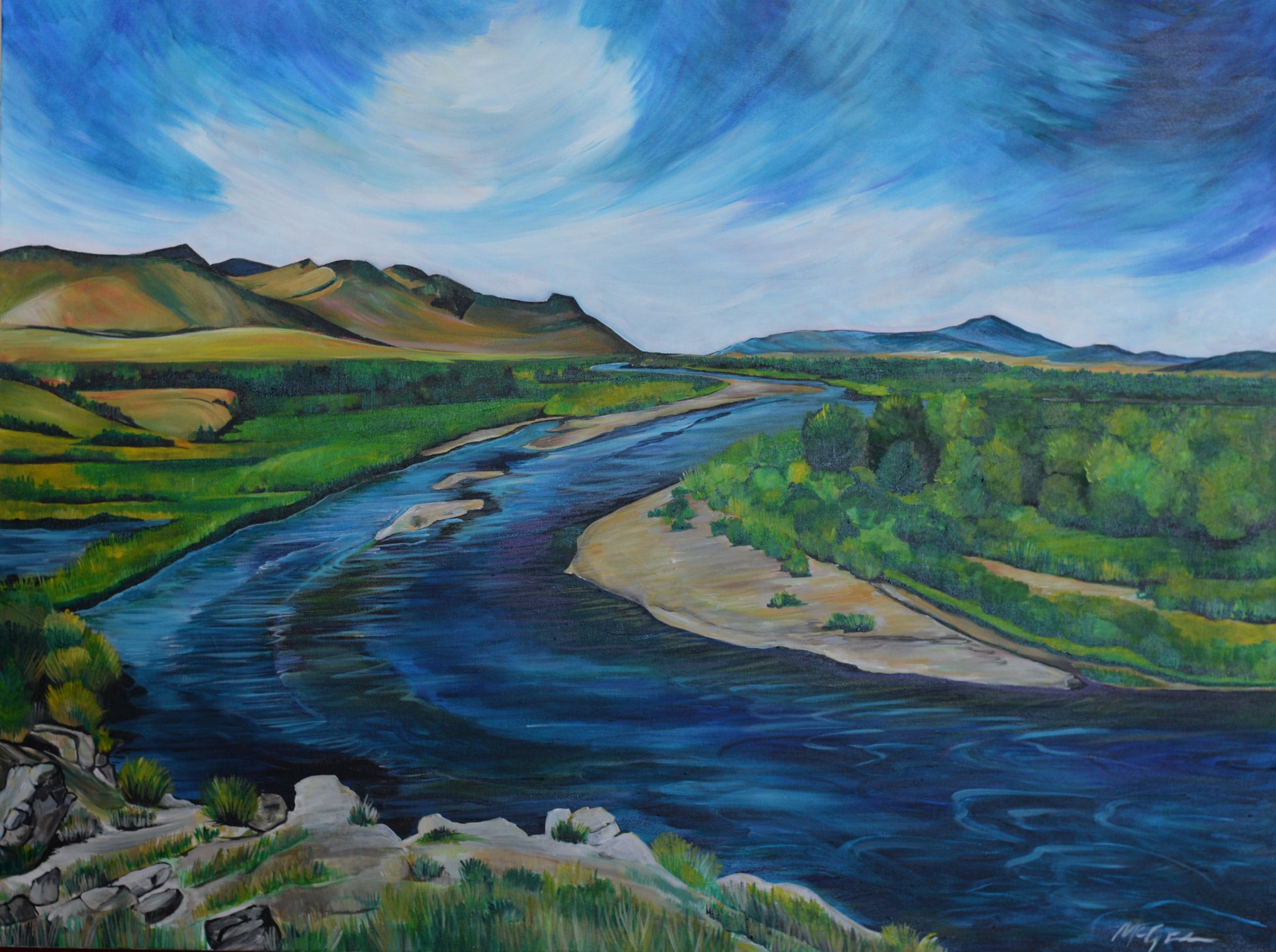
Jefferson River
Original Painting
30" x 40"
From the Rocky Mountains of southwestern Montana, three small rivers converge to form the headwaters of the Jefferson River. The longest begins at Brower's Spring, 9,030 feet (2,750 m) above sea level, on the northern flank of the Centennial Mountains. The site is marked by a pile of rocks. The water flows west then north as Hell Roaring Creek before merging with Rock Creek and flowing west through Upper and Lower Red Rock Lakes. Here it becomes the Red Rock River, flowing west through Lima Reservoir and then northwest into Clark Canyon Reservoir near Dillon. Below the dam, the river is known as the Beaverhead River verges with the Big Hole River to form the Jefferson about two miles downstream from town.
The Jefferson River flows north through the Jefferson Valley towards Whitehall and then east, where it is joined by the Boulder River before passing through the narrow Jefferson River canyon near Lewis and Clark Caverns State Park. After the canyon, the river passes into a broad valley again near Willow Creek. The Jefferson converges with the Madison River at Missouri Headwaters State Park near Three Forks to form the Missouri River, joined a short distance downstream by the Gallatin River.


